Hiking in the Puez-Odle Nature ParkSummer hiking routes from Passo delle Erbe
Hiking in the Puez-Odle Natural Park
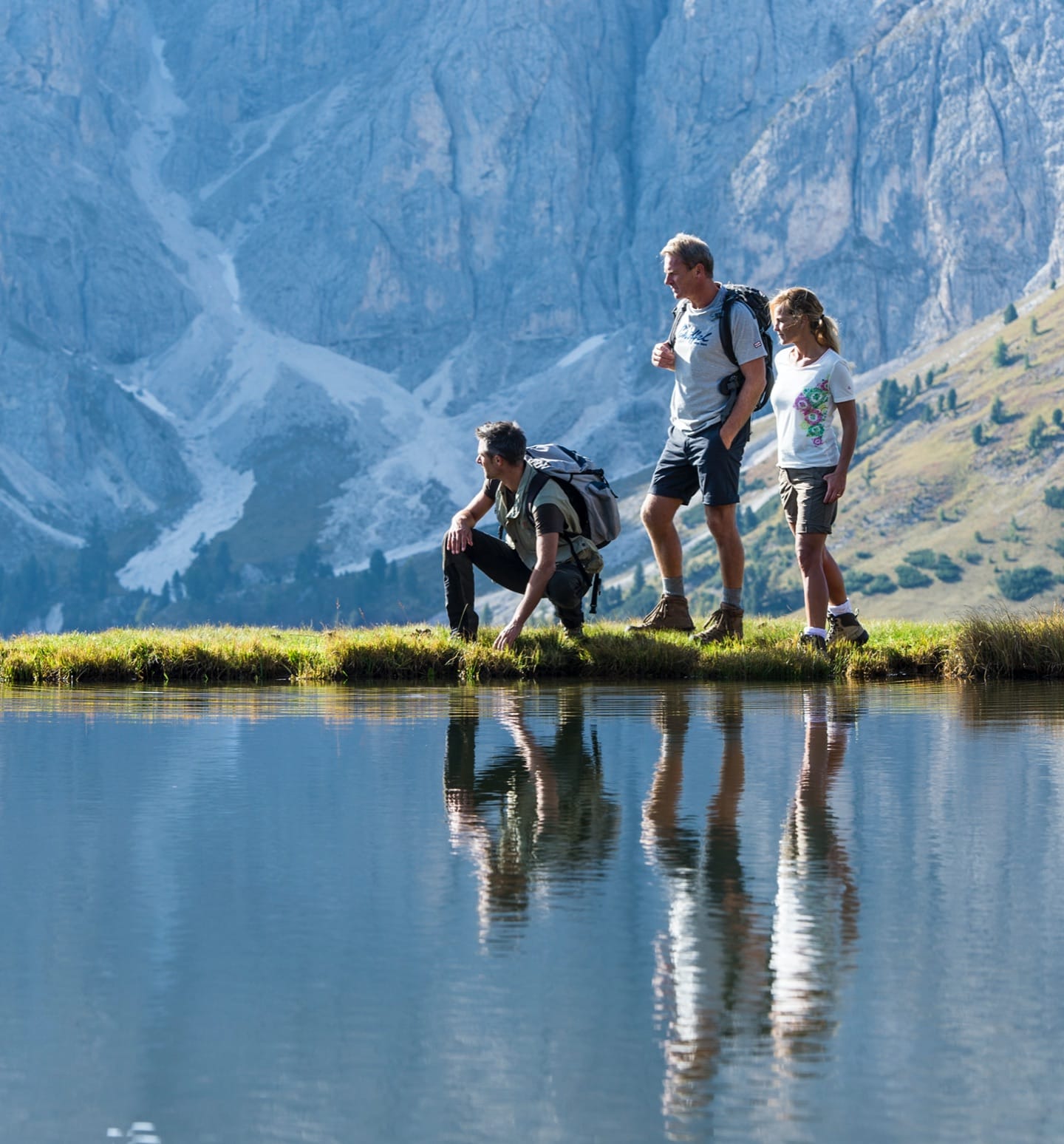
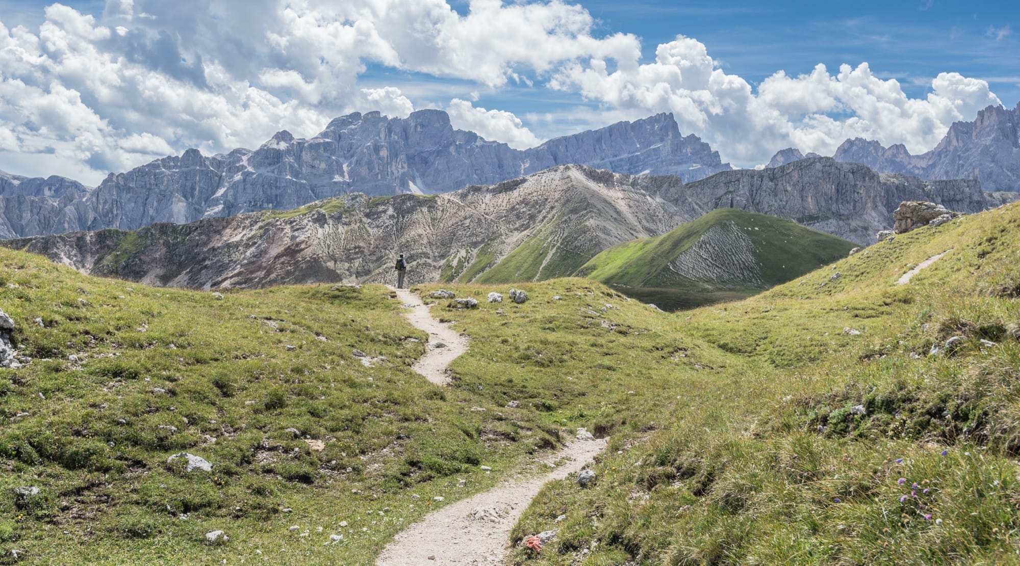
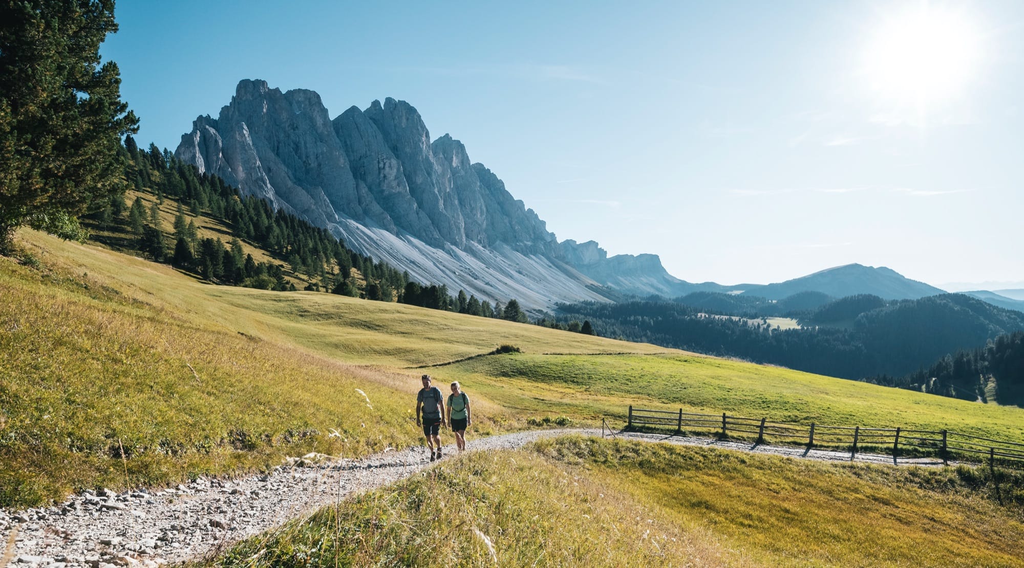
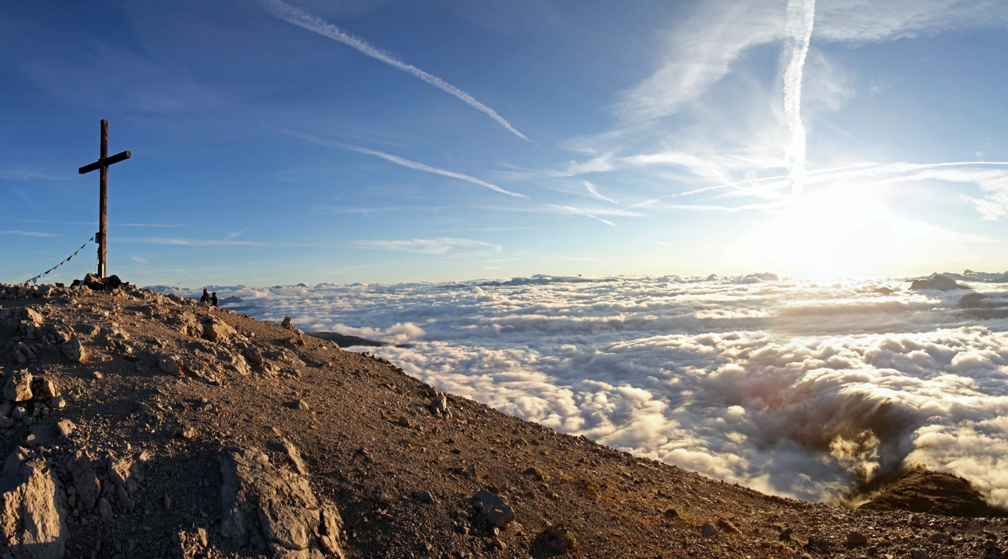
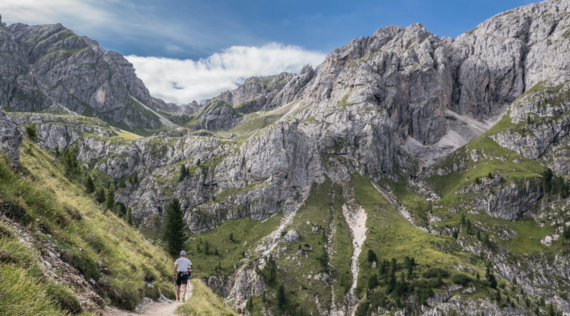
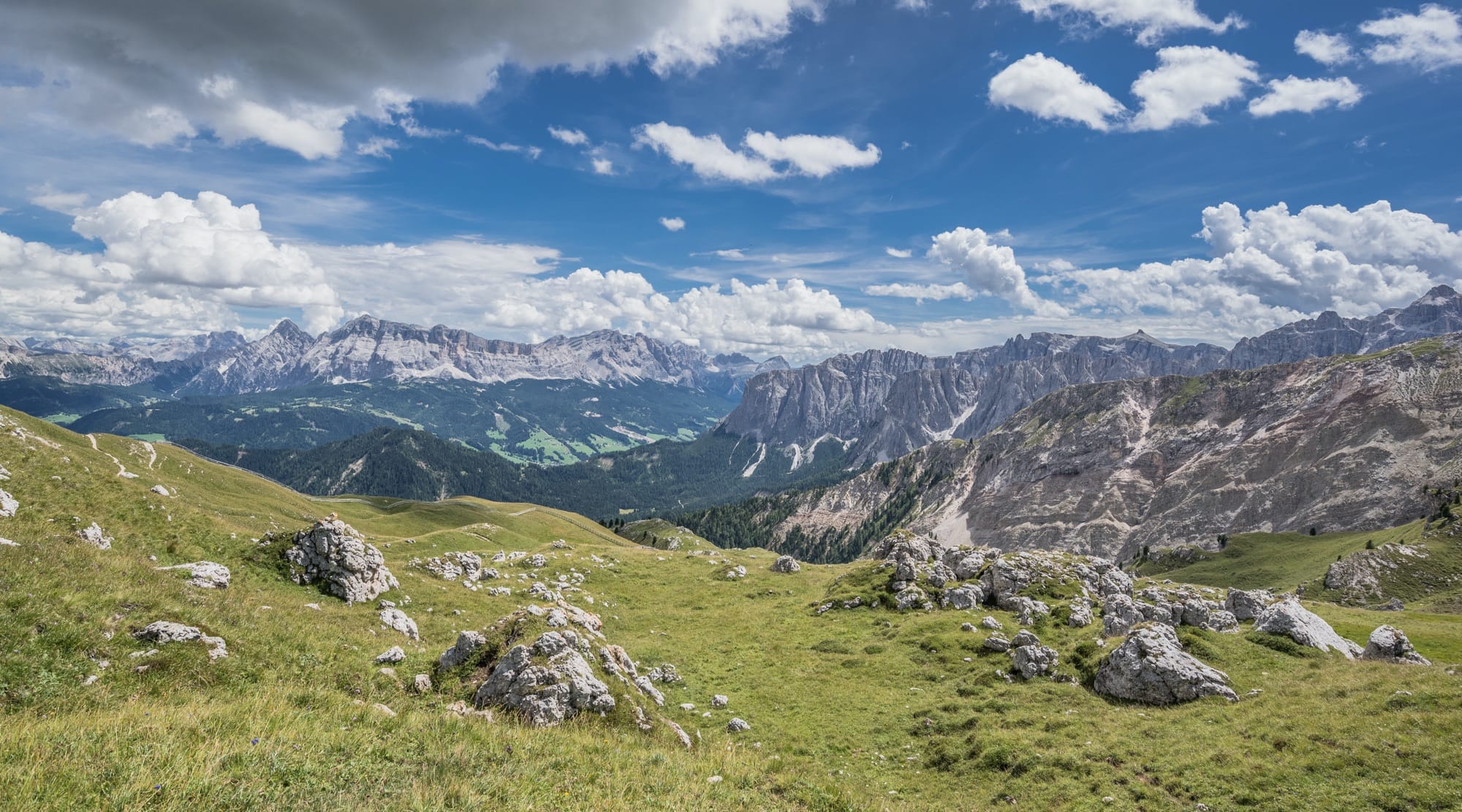
Hiking is by far the most rewarding summer activity in the Dolomites, and the Passo delle Erbe offers hiking trails and itineraries for any level of fitness and skill. Many panoramic points can be reached directly from our alpine hotel, to admire the sunrise or sunset over the Dolomites.
Wake up in the morning and start your adventure on the Dolomites trails!
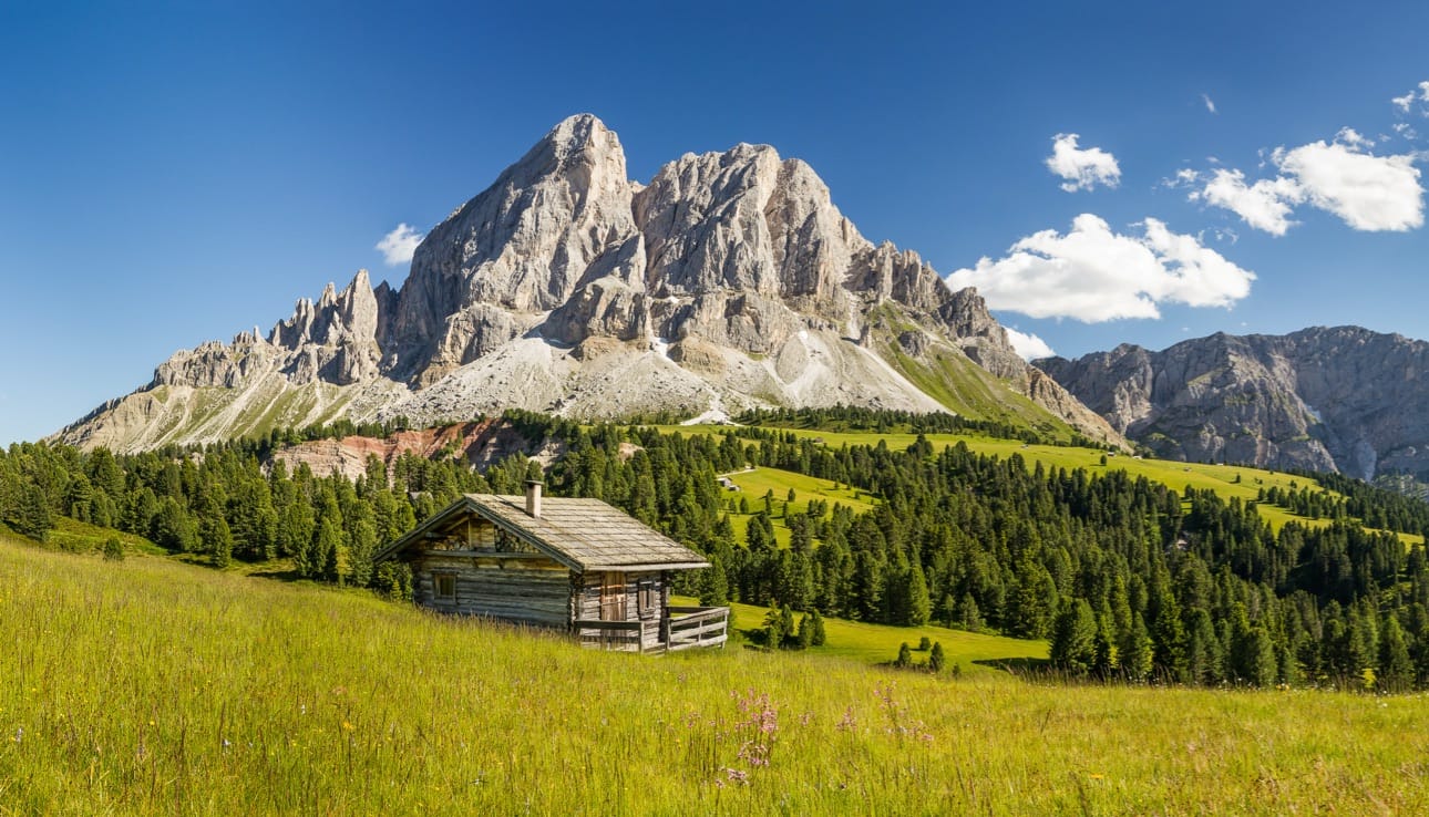
The icon and symbol of the Passo delle Erbe is the Sass de Pütia, which stands imposing on the surrounding landscape with its unmistakable jagged shapes. Several trails of various lengths and difficulties wind around this Dolomite peak. Observing it, it is almost impossible not to feel the urge to reach the top and observe the world from above.
Roda de Pütia – the circular hike around the Pütia
The loop around Sass de Pütia is definitely the most well-known hike here at Passo delle Erbe. It's a route of about 12 km with an elevation gain of about 900 meters that develops around the Pütia massif.
From Passo delle Erbe, follow trail 8A to Ütia Fornella and Ütia Sotpütia, mountain huts located in a panoramic position below Sass de Pütia. From there, follow the trail on the right towards the Pütia saddle (2.263 meters). The first section is at altitude for the first 600 meters. Just after the spring, the trail begins to climb 280 meters of elevation gain for the next 2.2 km.
To continue the loop, from the saddle initially descend on a wide path through meadows to Vaciara Hut. From Vaciara Hut continue to Passo Göma (Göma Pass, 2.106 meters), a panoramic point where you can admire the Cima Dieci, the Marmolada, the Sasso Croce, the Lavarella, and the Conturines. From Passo Göma, the trail becomes narrower and through the forest, initially descending and then quite high up to Ütia de Göma. Always passing through meadows and a bit of forest, you will find yourself back at the foot of Pütia at Ütia Fornella.
From the saddle, you can either reach the top or extend the loop by passing through Genova Hut:
- To reach the peak (2,875 meters), you'll need to tackle the last 150 meters of via ferrata. The climb is challenging, but the 360-degree panoramic view of the Dolomites makes it worth the effort. Alternatively, you can climb to the top of the "little Pütia" (2,812 meters) without a via ferrata.
- If you choose to detour to Genova Hut, from the saddle take trail Nr.4 towards "Rifugio Genova", crossing alpine meadows at altitude where you can spot marmots, arriving at a panoramic point with a view of the Marmolada, Sassolungo, the Sella group, and Sass Pordoi.
In addition to the Roda de Pütia, the Passo delle Erbe is also the ideal starting point for other routes. Being at the top of a pass, there are various trekking routes, some more or less easy, both on the side of the Val Pusteria and on that of the Valle Isarco. We present our favourite trekking routes.
Hiking in Val Badia
-
Longiarü - Malga Ciampcios - Longiarü
In Longiarü, park your car in the Pares parking lot, where the trail nr. 5A begins and leads to Ciampcios hut, passing through alpine meadows, coniferous forests, and traditional huts. Upon reaching Ciampcios hut at 2000 meters, you can enjoy a view of Furcheta and Sass dla Crusc. To return to Longiarü, you can take the same path back or take trail nr. 5, which allows for a loop.
Distance: 8 km
Travel time: 3-4 hours
Elevation gain: 470 meters up to Ciampcios
If you want to extend the route, you can continue from Malga Ciampcios to Malga Medalghes, passing through Focella de Furcia or not, and then return to Ciampcios.
A green alternative is to reach Longiarü from Passo delle Erbe by public transportation.
-
Longiarü - Malga Ciampcios - Malga Medalges - Rifugio Genova - Longiarü
Follow the same route as in point 1 until Ütia Ciampcios. Then continue to Medalges hut, near Forcella del Furcia (Furcia saddle). The landscape has clearly changed, with the vegetation represented by scattered alpine meadows and huts. Once you reach Forcella del Furcia, the view opens up to the Odle peaks. Follow trail no. 3 (Alta Via delle Dolomiti) to Rifugio Genova. From there, return to Longiarü along trail no. 4. The last part winds through the Valle dei Mulini/Mill valley.
-
Rifugio Montemuro
The hike from Passo delle Erbe to Montemuro hut is a medium-difficulty trail with a total duration of about 4 hours. The track starts from the Passo delle Erbe parking lot and follows a path through meadows and woods until the Pe’ de Börz parking lot (120 meters of negative elevation gain). From the parking lot, the path becomes more challenging and uphill, following trail nr. 1 through the woods up to Rifugio Montemuro, where you can enjoy a panoramic view that will repay your efforts.
Alternatively, from the parking lot, you can take trail nr. 2 to Malga Pecol and then continue to Montemuro.
From the refuge, it is possible to reach the summit of the Mount Muro (2,330 meters), marked with a cross, in about half an hour of walking from the hut.
Passing through Pecol and returning from the panoramic path: 9 km
Duration: 3-4 h
Elevation gain: 470 meters
-
Munt da Rina
You can start from Passo delle Erbe following trail number 1, passing by the Montemuro refuge and the Luson saddle. From the saddle, continue along the 1° trail until you reach the Munt da Rina dairy farm, located at 1,947 meters above sea level.
The hike requires good physical fitness, but the panoramic view of Sass da Crusc that can be admired once you reach the dairy farm is definitely worth the effort.
From the dairy farm, you can continue to the summit of Col da Lech (2,175 meters) and to the Colletto Lake (2188).
The summit of Munt da Rina also offers a panoramic view of the Sella Group mountain range and the highest peaks of the Dolomites, such as Marmolata, Catinaccio, and Sassolungo.
Alternatively, you can also start the hike from the sports field in the Rina locality, following trail number 26.
In Val di Funes
-
Passo delle Erbe - Forcella del Pütia - Rifugio Genova - Malga Kaserill - Malga Zannes
From Passo delle Erbe, follow trail 8A to Ütia Fornella and Ütia Sotpütia, panoramic mountain huts located below the Sass de Pütia. From there, take the trail on the right towards Forcella del Pütia. The first section is at an altitude for the first 600 meters. Shortly after the source, the trail begins to climb 280 meters in elevation for the next 2.2 km. Once at the fork, continue on the trail to the right towards Rifugio Genova.
In about 30 minutes, you will reach Rifugio Genova, passing through meadows where you can spot some marmots to the left. Along the trail, you will have a view of the Odle mountains in Funes and Eores.
From Genova, descend following the signs towards Malga Kaserill on a narrow trail that presents no technical difficulties. Alternatively, you can also pass through Malga Gampen and then take the trail to Malga Kaserill. Gampen is located in the center of the valley, while Kaserill is a small mountain hut with cows and a garden on the mule track 2.5 km from Malga Zannes. From Kaserill, the last 2.5 km are an easy walk along the mule track.
Distance: 16 km
Duration: 5-6 h
Elevation: 510 m (negative elevation), 1120 m (positive elevation)
-
Adolf Munkelweg Trail
The Adolf Munkel trail (Adolf Munkelweg, also known as the "Odle trail") is a very panoramic hike at the foot of the Odle of Funes that does not present particular technical difficulties, taking place mostly at high altitude. After parking at the Zannes car park in Santa Maddalena in Funes, for the first 20 minutes you walk along a forest road, and then the trail winds mostly through the woods. The longer loop allows you to reach the Brogles Alpine pasture, covering a total of 13 km, but it is also possible to take the shorter route (9 km) by following trail 35 to the Casnago Alpine pasture and then to the Rifugio delle Odle/ Geisleralm (1,996 meters above sea level). From the Rifugio delle Odle, it's another hour and a half to walk back to the starting point along the forest road or trail nr. 36.
The trail offers splendid views of the surrounding peaks and allows you to immerse yourself in the pristine nature of the area. The trek is ideal for those looking for a panoramic walk without too challenging difficulties, making it a great hike for families with children.
Distance: 9 km
Time: 3:30
Elevation gain: 400 meters
-
Zannes Hut - Rifugio delle Odle Hut
Distance: 3.17 km
Time: 1 hour 17 minutes
Elevation gain: 310 m
Shorter hike compared to the previous one, also doable the day of your departure from Ütia de Börz, if you are passing through Funes valley.
The trail passes through coniferous forests and alpine pastures. Along the way, you can admire the imposing peaks of the Odle mountain chain and, with a bit of luck, spot some local wildlife. After about an hour and a half, you reach the Rifugio delle Odle/ Geisleralm. Suitable for children as well. Alternatively, there is a narrower trail that winds through the forest.
Both from Longiarü and Zannes, it is possible to return by bus to Passo delle Erbe. Bus schedules vary seasonally, so we recommend checking the website of the South Tyrol Mobility.
Some multi-day treks that pass through the Passo delle Erbe
1. Munich-Venice
The Passo delle Erbe is also a stop on the Munich-Venice trek, a 550-km-long trail through the Alps connecting the cities of Munich in Germany and Venice in Italy. Along the route, which takes about 3-4 weeks, one crosses breathtaking views of alpine landscapes, forests, pastures and traditional villages following ancient transit roads.
2. Dolorama Trail
The Dolorama trekking route is a 60 km itinerary through the Dolomites, winding through valleys, alpine passes, and mountain huts. The name of the route derives from the fact that the trail largely follows scenic paths from Alpe di Luson up to Laion at 2356 meters above sea level.
The trek can be completed in 4 days, depending on the walking pace and overnight stays in mountain huts along the way. The difficulty of the trek varies depending on the trail and elevation gain, but it is generally considered a medium-difficulty route that requires good physical preparation.
The Dolorama route offers some of the most beautiful panoramic views of the Dolomites, such as the Odle, Marmolada, Sciliar, Sasso Lungo, and of course, the Sass de Pütia.
The second stage of the Dolorama crosses the Passo delle Erbe, arriving from the Montemuro Refuge in the direction of the Genova Refuge.
3. Alta Via nr.2
Alta Via nr. 2 is a trekking route through the eastern Dolomites in Italy. About 180 km long, the route follows the mountains from the town of Bressanone to Belluno, crossing some of the most spectacular and impressive peaks of the Dolomites, such as the Sella group, the Pale di San Martino and the Marmolada.
Most of the route takes place at high altitude, with significant altitude differences and breathtaking views. The difficulty of the route varies from medium to demanding, with some exposed passages requiring attention.
The Passo delle Erbe can therefore be considered a variant of the second stage. The second stage starts at the Plose Hut and leads to the Genova Hut via the Pütia Gorge.
The route takes approx. 10-15 days to complete, depending on physical fitness and walking pace, as well as the planned stops along the way.

